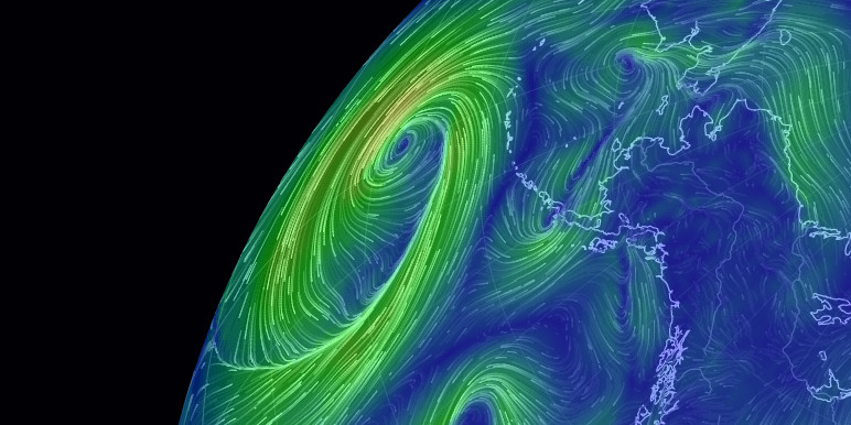
Head's up an strong and swift moving cold front is sweeping thru the panhandle today, ahead of that a dry line is setting up in the rolling plains.
Early (today) forcast were for the enhanced severe weather risk was OK and KS. I stepped outside 30 mins ago and noticed thunderheads popping up SE of Lubbock, then NWS put the above graphic out. At least the early thread seems to have shifted WAY south and a bit west.
Expect Tornado watches issues by early afternoon.


Comment