Originally posted by Randy
View Post
-
Like that also, plus it's $30 for all states vs $100 for OnX. -
OnX here also. Not enough hours using it to be honest but it seems pretty dang cool to me.Comment
-
No experience with OnX, I only use the free Huntstand and I only use it for our ranch as I don't really hunt anywhere else. It does everything I need and I love it for calculating areas, etc for food plots. I do agree the update made it a lot worse. I liked the old version a lot more.
For the OnX guys, if you were using it for your ranch is it good for marking stands, roads, and calculating areas for food plots?Comment
-
OnX mainly for the offline maps when in the mountains, saves battery life.Comment
-
OnX we have no cellular service or anything outside ozona once I get off I-10 , so I download all my maps @ home and then save all my Data for when I’m home super easy
only thing I don’t like about it is it’s not multi state unless I upgrade to elite and I don’t think it works for Mexico
i tried one that worked in Mexico but it was not very detailedComment
-
OnX for years now in the field.
I use basemap for slopes. when researching..Comment
-
ONX is all i've used. Those guys at customer service are always super helpful. And on good Friday they run deals and you can renew your yearly subscription for $69.99Comment
-
I really don’t understand the value of these apps for hunting in Texas. I get it out west where there’s a lot of public land but all the land in Texas is private, except for two small national forests and a few state parks. All the property line and landowner info is available for free through the county appraisal district, most counties even have interactive maps available online. I tried onx and it’s literally the same info from the appraisal district website. As far as the mapping features go, do I really need a map to navigate around my 300 acre lease? No. I get some hunt on large multi-thousand acre leases, but even on those leases you get an assigned area to hunt. I don’t see the point of have my blind and feeder marked on a map when I drive out there dozens of times a year. Some have brought up the distance calculator, but I can do the same thing on Google earth. So what am I missing?Comment
-
For your hunting, it's probably not worth the $35 per year for one state. In Montana, however, everybody I know who hunts uses it. It's accurate enough on property borders and different game management units that the GWs also use. In Montana, a landowner does not need to post private property to enforce trespassing laws. The person hunting or hiking is responsible for staying off private land.Originally posted by TXcazador91 View Post
It's really convenient to be able to send a text message to somebody with the location easily. If you download the map area on WiFi before you hunt an area, it will have the map and all your past info on routes and locations when there's no cellular service- pretty common in the middle of nowhere or with a mountain between you and the cell tower.
The web's land ownership feature has identical information as Montana Cadastral, but you don't need to search to find your location; it's one of the layers on the map.
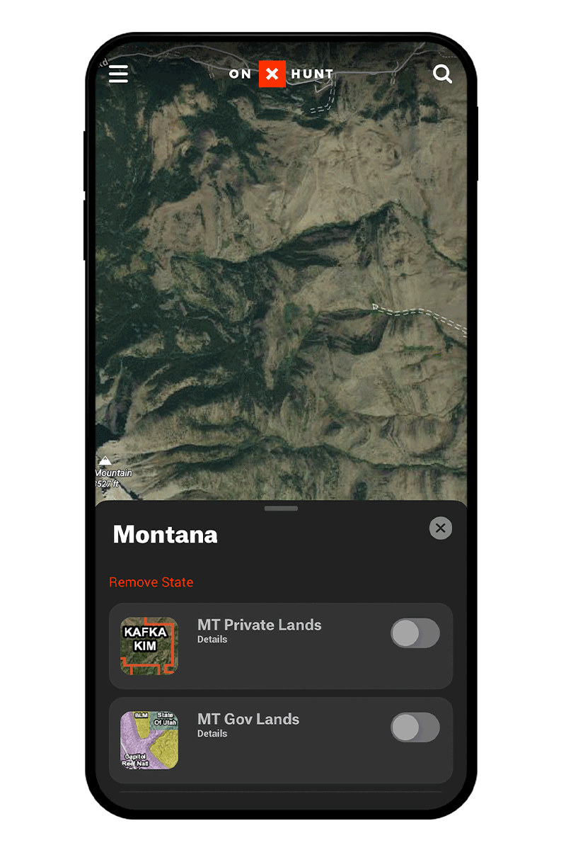
OnX Hunt has map layers in addition to the base map that you can customize for your purposes.
Most of the guys on search and rescue here are hunters and use it. The issue was that downloading all the people's track data at the end of a mission to allow the preparation of a search report to the Sheriff was hard for the GIS guy. Garmin has the software in their laptop software that made importing the tracks.
Comment
-
OnX here. No complaints and have been using it for the last 5 years.Comment
-
Yes, I definitely see the value for hunting in the western states. I guess I’m curious what the Texas guys are getting out of it. Unless I’m missing something I don’t see the value of it for hunting in Texas.Originally posted by Bill View Post
Comment
-
For 90% of the time I don't need it (I use Huntstand). I can definitely see your point if you are leasing and have 1 or 2 stands or really anywhere where you are going to places you know. The biggest value for me has been a few things.Originally posted by TXcazador91 View Post
We have had paid hunters come in the past and not all of our property is fenced. I was able to share the ranch on the ap with them so they knew where property boundaries were as they walked and called (turkey hunting). I also didn't have to worry as much about them wondering off and getting lost as we have all roads, stands, tanks, etc. marked so they always knew where they are if using the ap or could describe what they were next to if we were on the phone.
The other thing I use it the most for is laying out and measuring areas for say food plots. I can walk an area and put it into my phone and then I know the exact acreage I have which in turn means I know they exact amount of seed I need to buy. OR if I'm sitting on my couch at home I can mark an area that looks good with the satellite on and then when I get to the ranch determine if it is good or needs to be tweaked as I walk it. Then I can clear it or plow it and more importantly if my dad is on the tractor I can show him the area on his phone and he just has to stay in the lines.
A third thing we used it for but don't any more was similar to the hunters. When we had the dozer out to clear roads we were able to look at where we were, where we wanted to get to and vegetation to determine where the roads were to go. There were a few times I drew a line on Huntstand connecting one place to another and it saved us a tone of money with the dozer as he had direct routes and didn't have to use his time to figure out how to get places.Comment
-

Comment